แสดงบทความที่มีป้ายกำกับ Chiangmai แสดงบทความทั้งหมด

วันจันทร์ที่ 15 กันยายน พ.ศ. 2551

Geography

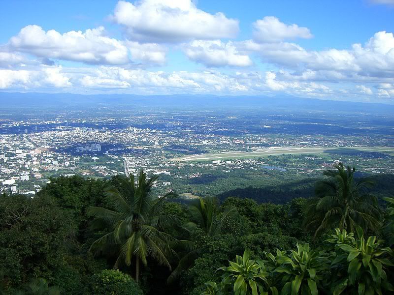
Chiang Mai province is about 700 kilometres from Bangkok and is situated on the Mae Ping River basin and is 300 metres above sea level. Surrounded by high mountain ranges, it covers an area of approximately 20,107 square kilometres. The district is covered by many mountains, chiefly stretching in the south-north direction. The river Ping, one of the major tributaries of the Chao Phraya River, originates in the Chiang Dao mountains. The highest mountain of Thailand, the 2,565 meter high Doi Inthanon, is located in the district. Several national parks are in the district: Doi Inthanon, Doi Suthep-Pui, Mae Ping, Sri Lanna, Huay Nam Dang, Mae Phang, Chiang Dao.

The mountainous terrain is mainly jungle, parts of which are within national parks which are still fertile and verdant with plentiful flora and fauna. There are many sites and locations where tourists prefer to visit to study the lifestyle of the tribal people who live on high hills.

History

The city of Chiang Mai was capital of the Lanna kingdom after its founding in 1296. During the same period of time as the establishment of the Sukhothai Kingdom. From then, Chiang Mai not only became the capital and cultural core of the Lanna Kingdom, it was also the centre of Buddhism in northern Thailand and King Meng Rai built innumerable temples.

In 1599 the kingdom lost its independence and became part of the Ayutthaya kingdom. This ending the dynasty founded by King Meng Rai which had lasted for 300 years. The occupiers Burma, had a powerful Burmese influence on the architecture which can still be seen today. It was only in the late 18th century that Burma was finally defeated with the leadership of King Taksin.

In 1932 the province Chiang Mai became the second level subdivision of Thailand when the administrative unit of Monthon Phayap, the remains of the Lanna kingdom, was dissolved