
 Chiang Mai province is about 700 kilometres from Bangkok and is situated on the Mae Ping River basin and is 300 metres above sea level. Surrounded by high mountain ranges, it covers an area of approximately 20,107 square kilometres. The district is covered by many mountains, chiefly stretching in the south-north direction. The river Ping, one of the major tributaries of the Chao Phraya River, originates in the Chiang Dao mountains. The highest mountain of Thailand, the 2,565 meter high Doi Inthanon, is located in the district. Several national parks are in the district: Doi Inthanon, Doi Suthep-Pui, Mae Ping, Sri Lanna, Huay Nam Dang, Mae Phang, Chiang Dao.
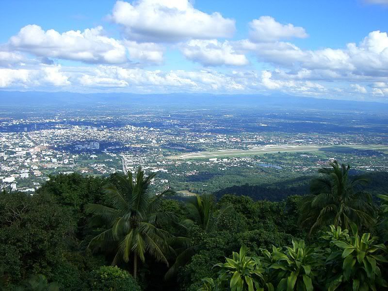
The mountainous terrain is mainly jungle, parts of which are within national parks which are still fertile and verdant with plentiful flora and fauna. There are many sites and locations where tourists prefer to visit to study the lifestyle of the tribal people who live on high hills.
ไม่มีความคิดเห็น:
แสดงความคิดเห็น